Drone photography and videos to showcase your entire property
Differentiate your brand with our premier real estate aerial photography and videography services, providing the dramatic, all-encompassing views that today's buyers and renters demand.
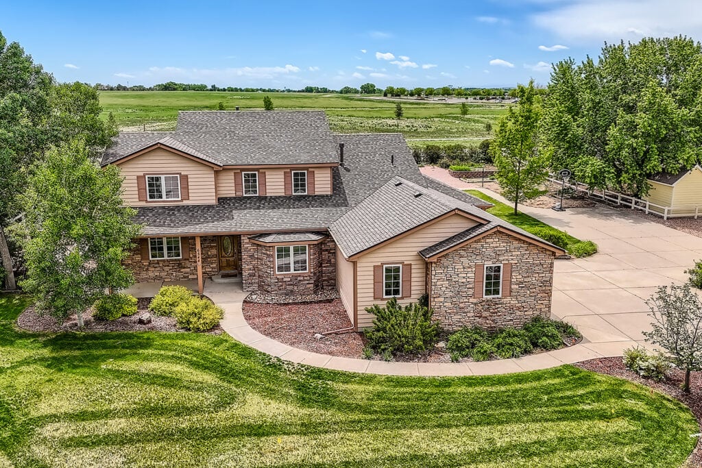
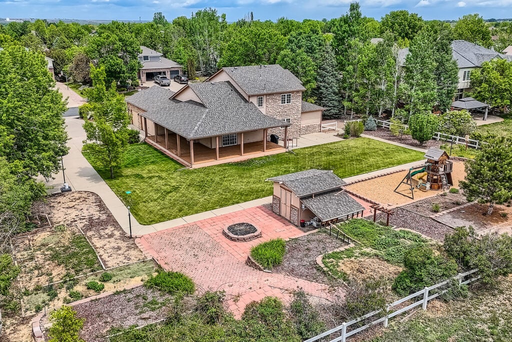
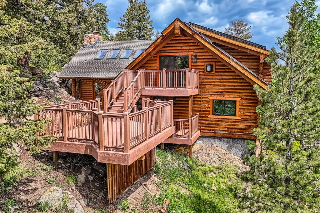
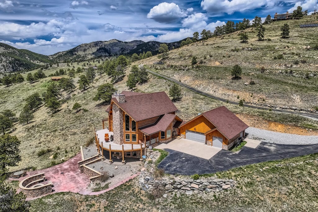
How do drones improve your real estate marketing?
Drones accelerate sales and rentals by capturing immediate buyer interest through striking aerial perspectives and comprehensive property views.
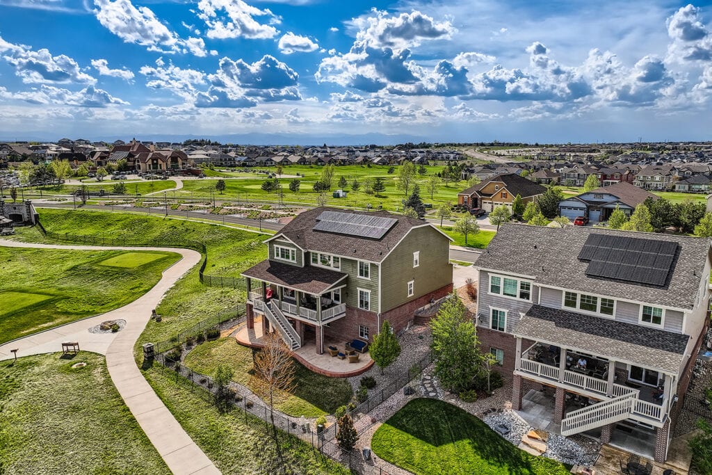
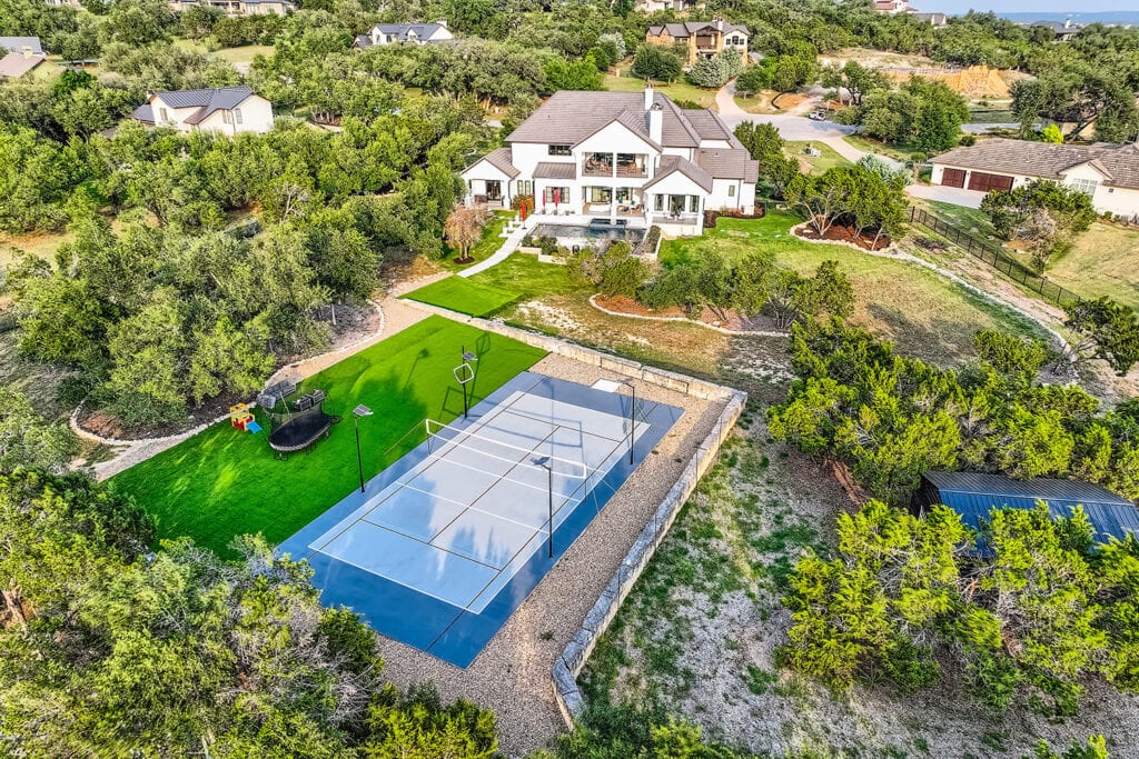
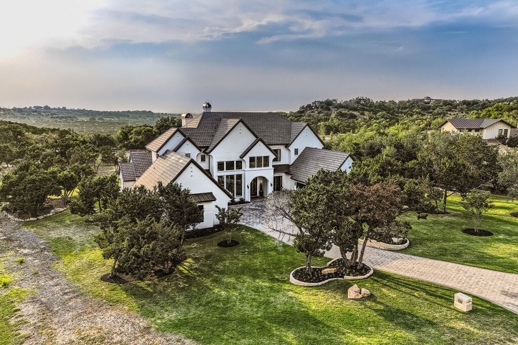
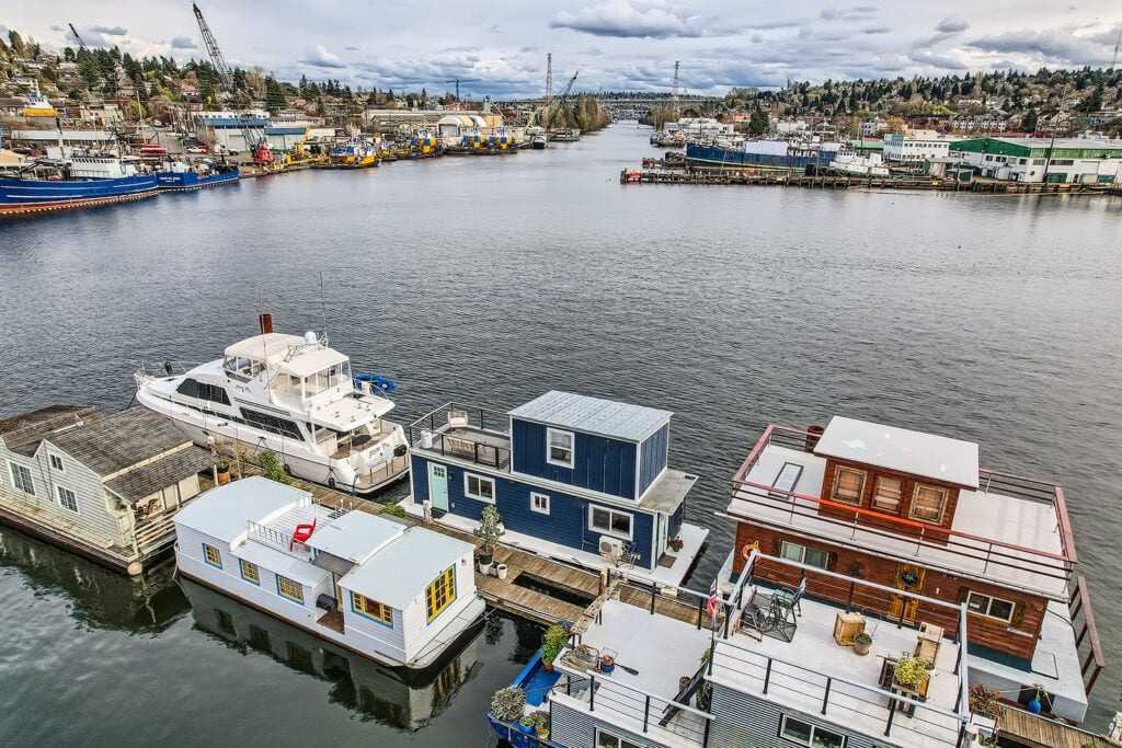
In fact, properties captured with professional aerial photography sell 68% faster because they showcase the entire property, its boundaries, and the surrounding neighborhood in a single, compelling view.
Furthermore, by incorporating drone video, listings can generate a staggering 403% more inquiries. This dramatically increases the pool of potential buyers and leads to quicker offers.
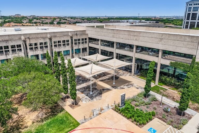
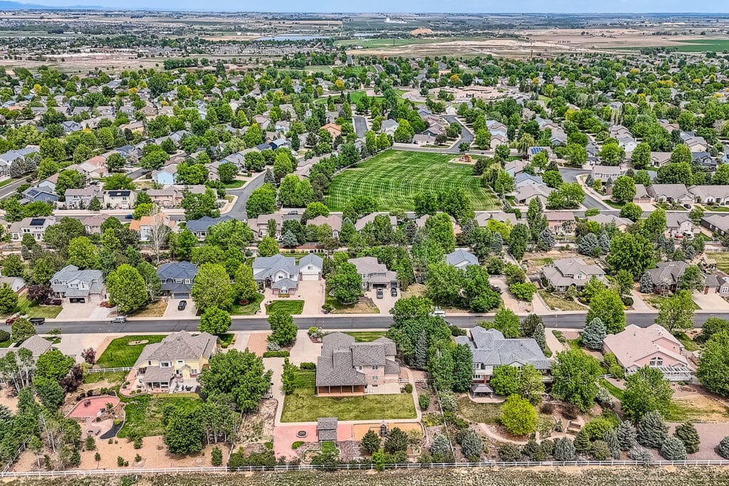
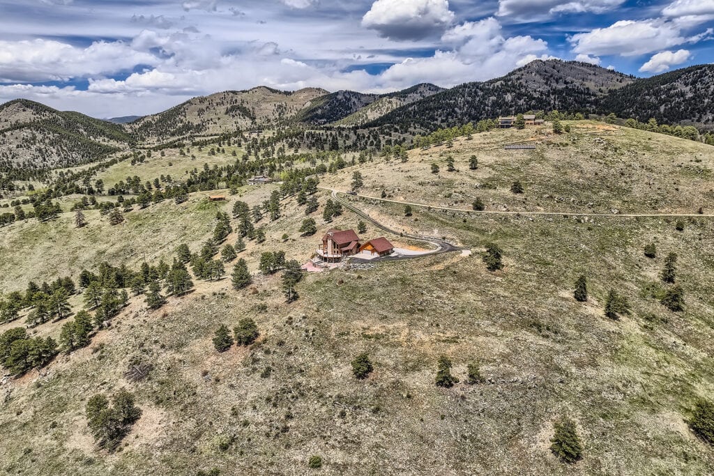
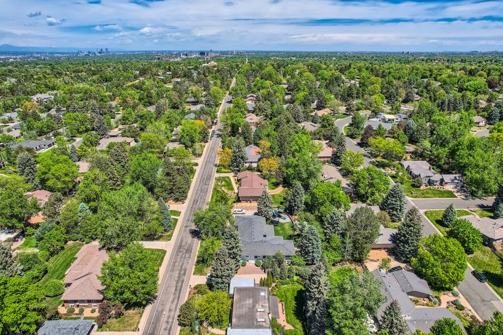
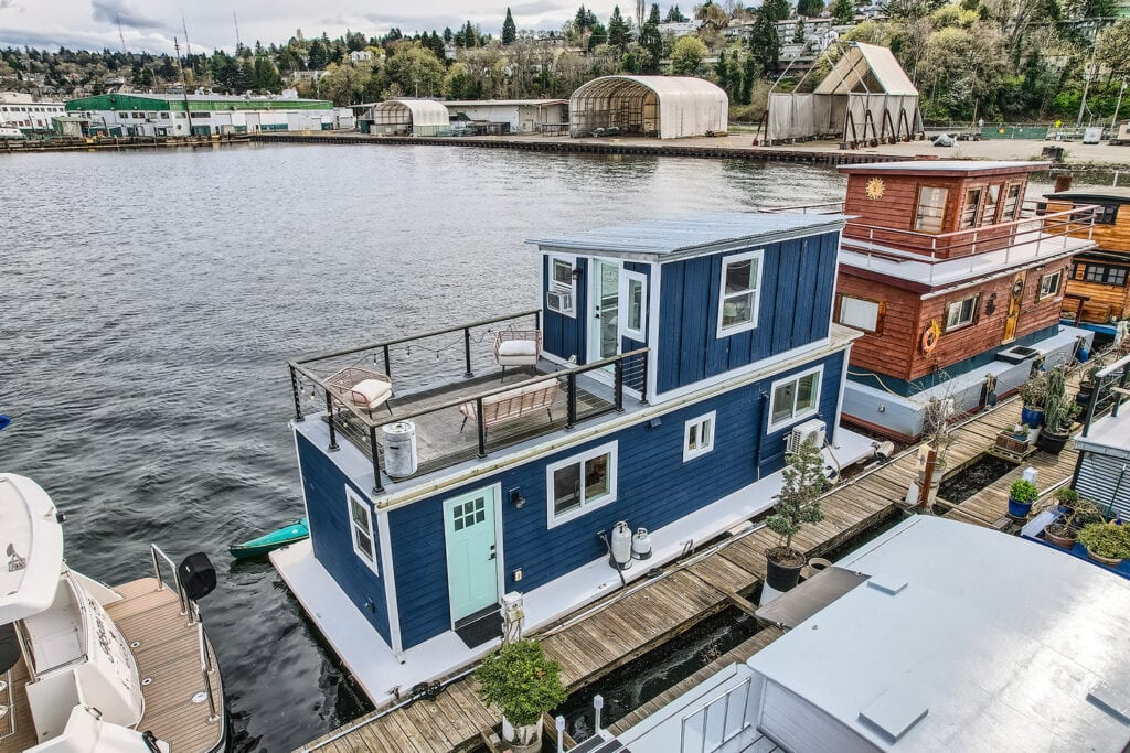
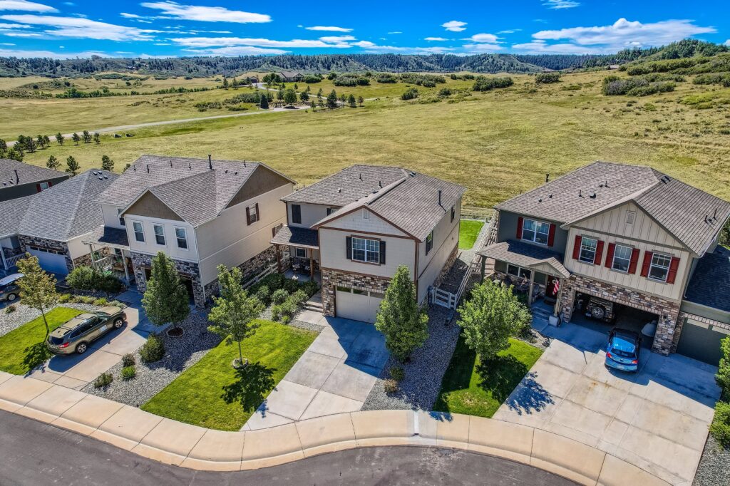
Aerials provide a complete visual narrative of the property, showcasing its full scale, boundaries, and valuable proximity to surrounding amenities in a single, powerful view.
By offering a service many competitors lack, you immediately elevate your brand to impress and secure future clients.
Dramatic aerials make your listing visually arresting online, capturing the immediate attention required to generate more showings and drive a quicker sale.
Is aerial photography right for your property?
With Virtuance's professional, 100% FAA-compliant, and fully insured drone pilots/photographers behind the lens, you can gain total peace of mind.
We provide stunning, risk-free aerials by handling all the heavy lifting. Our photographers navigate local flight restrictions on your behalf and manage the on-site capture, while our in-house editing and quality assurance teams handle the final delivery.
This approach ensures you get a seamless experience and incredible marketing assets, all while you remain focused on your business.
Experience Virtuance's Pilots
"Aerial images and drone videos take us to the next level. It keeps us cutting edge and gets us great exposure. Clients are starting to EXPECT these types of services, so if you don’t provide them, you’re already behind. When they see you do have it, the perception is that you have very strong marketing and go the “extra mile” for your sellers. "
Jennifer Bozarth
The Bozarth Group - Keller Williams
"Virtuance was once again a key reason for my successful closing. My recent listing was previously listed by 2 other agents, 204 days on the market and no sale. Our team presented this house using the HDReal® images and aerial photography, it went pending in 3 days and closed 16 days later for above list price. "
Shelly Korn
Keller Williams
"Thanks to Virtuance, I increased my rental prices from $2,200 to $2,300 a month, and my listing was booked in just 10 days. In comparison, a similar house across the street has been on the market for three months!"
Randy Egan
Landlord
"The ease of ordering, transparent pricing, and quick delivery make Virtuance a great partner. I’ve recommended them to other brokers because their final product is always impressive."
Jen Turner
Better Properties-Metro
"Virtuance consistently provides top-notch photos and videos, with solid appointments and fast turnaround. The quality of their product has kept me a loyal customer for years."
John Martin
Brokers Guild Real Estate
You trust Virtuance! When you order aerial photography from Virtuance, our professional drone photographers and in-house processing team do all the heavy lifting.
1. Schedule Your Shoot: Pick a time that works for you.
2. We Handle the Flight: Our certified local drone pilot manages all flight logistics.
3. Get Your Images: Our processing team enhances and delivers your final drone photos and videos, ready for the MLS or marketing materials.
To fly a drone in 2026, you must pass the FAA TRUST exam for recreational use or obtain a Part 107 Remote Pilot Certificate for commercial work, and any drone over 250 grams must be registered and equipped with Remote ID technology.
Drone photography uses a remote-controlled aircraft to capture high-quality images and videos from an aerial perspective.
An aerial shoot highlights the property’s exterior, land boundaries, and nearby neighborhood landmarks.
We fly at a maximum altitude of 400 feet in accordance with FAA safety regulations and local airspace restrictions.
Ground shoots focus on eye-level interior and exterior views, while aerial shoots provide a bird’s-eye view of the entire property and its surroundings.
You must book two separate, back-to-back appointments since these services require different specialists and equipment.
Restricted airspaces include controlled zones around airports, prohibited areas like government buildings, and temporary flight restrictions (TFRs) for emergency operations or major public events.
For safety and equipment protection, we do not fly in rain, snow, or high winds.
Drones are operated strictly outdoors, while our ground photographers handle all interior imaging needs.
Fixed appointments are necessary because many flight locations require specific, time-stamped FAA authorizations.