


As a majority of homebuyers first view homes online, it’s essential that your listing gives a complete picture of the home. While virtual tours, 3D floor plans, and real estate photography give clients a good idea of the home, aerial photography can take your listing to the next level.
What is aerial photography for real estate?
Aerial photography for real estate is when photographs are taken from the air of a property. The resulting frame of reference from a high elevation is the meaning of aerial view.
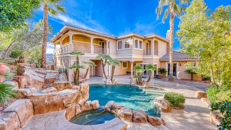
Residential aerial photography can capture a home’s entire lot, including the front and back yards. For commercial real estate, drones can photograph a shopping center and its surrounding neighborhood to create detailed maps for potential developers.
Drone photography and videography offer a perspective that transforms the mundane into something cinematic. Depending on the angle and the altitude, the “story” of the shot changes completely.
Types and views of aerial drone shots
Here are the primary types of aerial views used in photography, mapping, and cinematography:
- Vertical (Nadir): A 90° “top-down” shot looking straight at the subject. It removes depth to create a flat, geometric map—perfect for site planning and abstract patterns.
- Low Oblique: A tilted shot that provides 3D depth without showing the horizon. Use this to highlight the specific details of buildings or land features.
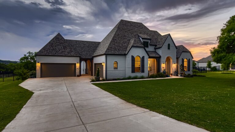
- High Oblique: A tilted shot that includes the horizon. This is the most natural-looking perspective for showing scale and vast distances.
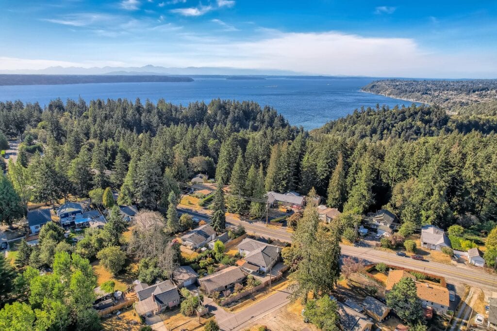
- Bird’s-Eye: A view from a very high altitude, often showing entire cities or mountain ranges. It creates a “miniature model” effect that provides massive context.
- Worm’s-Eye: An upward-facing shot taken from a low position. This perspective makes subjects like bridges or trees look powerful and majestic. These are less common for real estate aerials.
Is drone photography for real estate the same as aerial photography?
Although both lead to a better understanding of the property’s layout, there is a difference between drone and aerial photography.
Drone photography for real estate is a subtype of aerial photography that explicitly uses drones to take photos. Other aircrafts, such as planes or helicopters, can also be used for aerial photography.
If you opt for real estate photos taken by a drone, check that the drone pilots you hire are fully licensed and insured per FAA Regulations.
How are aerial photos useful?
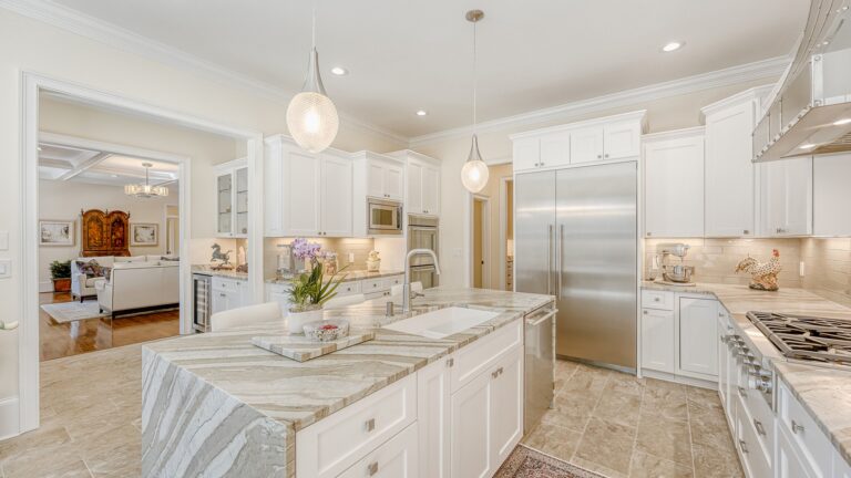
Standard indoor photos don’t give potential buyers a lay of the land. For example, you can’t highlight a new roof or other unique outdoor features like solar panels.
An aerial photograph shows the full view of a property in the context of its location. Interested buyers can then get a better idea of the property’s worth and its proximity to surrounding areas—without being physically present in the space.
Why do you need professional real estate aerial photography?
Standard indoor photos don’t give potential buyers the “lay of the land.” Aerial views allow you to highlight:
- Property Condition: Showcase a new roof or solar panels.
- Proximity: Give buyers a clear idea of the home’s distance from neighbors, busy roads, or local amenities.
- Spatial Relationships: Help buyers visualize exactly how far their yard extends or where the driveway sits.
By providing a more comprehensive view than your competitors, you’ll attract more qualified buyers who truly understand the value of the property before they even step foot on the grass.
Ready to soar above your competition?
Capturing the perfect aerial shot requires more than just a drone; it requires an eye for composition and professional-grade processing. That’s where Virtuance comes in.
We set the industry standard with our professional aerial photography and video services. When you schedule with us, our expert, 100% FAA insured, drone pilots and dedicated processing team handle everything from flight to final edit. We even provide an aerial pre-shoot checklist to ensure your property is camera-ready.
Start your journey today: Check our service area map and pricing page to see if we offer aerial photography near you.
Exclusive Offer: New to Virtuance? Get $50 off your first order by using the code NEWCLIENT50 at checkout.
People are also asking
Does weather affect the scheduling of real estate aerial photography?
High winds, heavy rain, or low visibility can impact drone safety and image quality, so most professional services will monitor local forecasts to ensure your shoot happens during optimal conditions.
Can aerial photography help identify property features that aren't visible from the street?
Yes, aerial views are the best way to showcase hidden assets like extensive acreage, high-end pool layouts, guest houses, or the specific condition of the roof and chimney.
What should homeowners do to prepare their yards for a drone shoot?
To ensure the property looks its best from above, homeowners should stow away trash cans, park cars in the garage, close umbrellas, and clear any loose debris or toys from the lawn.
Are there restricted areas where drones cannot take real estate photos?
Drones must comply with “No Fly Zones” near airports, government buildings, or sensitive infrastructure, though professional pilots can sometimes coordinate with the FAA for specific airspace authorizations.